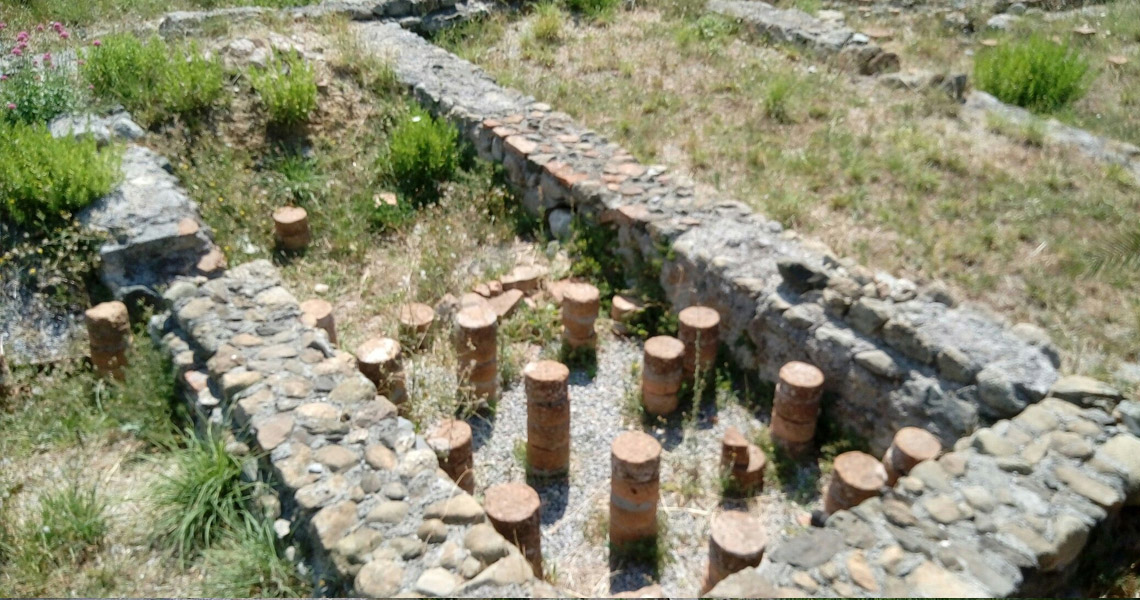

The remains of a Roman settlement from the 2nd century CE, brought to light by excavations in the late 1800s are still visible today near Albisola Superiore railway station. Studies have located in the Albisola Superiore area the Alba Docilia stopover or resting area marked on the Tabula Peutingeriana, a roadmap of the Roman Empire drawn up probably between the 3rd and 4th century CE for military purpose.
The ancient complex in piazza Giulio II is referable to a large villa, approx 8000 sqm, of the imperial Roman period, which combined aspects of a proper residential building with structures and productive services typical of a farm. It’s recognizable the main house (pars urbana), the productive-farm area (pars rustica or fructuaria) and the thermal section. A portion of the residential and thermal sections is currently visible in the archaeological area found in the large square in front of the railway station, while a part of the farm section is preserved under the arcade next to the station itself and the wall remains beneath the square are visible via the planimetry created on the pavement by travertine slabs.
The ancient complex in piazza Giulio II is referable to a large villa, approx 8000 sqm, of the imperial Roman period, which combined aspects of a proper residential building with structures and productive services typical of a farm. It’s recognizable the main house (pars urbana), the productive-farm area (pars rustica or fructuaria) and the thermal section. A portion of the residential and thermal sections is currently visible in the archaeological area found in the large square in front of the railway station, while a part of the farm section is preserved under the arcade next to the station itself and the wall remains beneath the square are visible via the planimetry created on the pavement by travertine slabs.
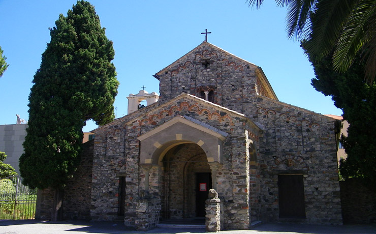
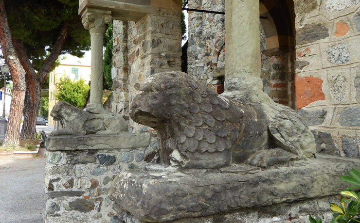

On the same square is also located the San Pietro church, rebuilt at the end of the 19th century in Romanesque style on a project by architect Alfredo D’Andrade. Modified several times throughout the centuries and destroyed by the 1887 earthquake, it was rebuild on the map of the old one in sandstone and exposed brick cladding.
The launch of the website dedicated to Alba Docilia’s archaeological area in 2023 has capped off a series of operations to promote one of the most important archaeological areas in Liguria, backed by the Office for the Protection of archaeological, natural and artistic heritage of the Provinces of Savona and Imperia, in cooperation with the department of Culture of the City Council of Albisola Superiore, financed by the Ministry of Culture since 2021.
The launch of the website dedicated to Alba Docilia’s archaeological area in 2023 has capped off a series of operations to promote one of the most important archaeological areas in Liguria, backed by the Office for the Protection of archaeological, natural and artistic heritage of the Provinces of Savona and Imperia, in cooperation with the department of Culture of the City Council of Albisola Superiore, financed by the Ministry of Culture since 2021.
Studies have located in the Albisola Superiore area the Alba Docilia stopover or resting area marked on the Tabula Peutingeriana, a roadmap of the Roman Empire drawn up probably between the 3rd and 4th century CE for military purpose. Albisola Turismo
After the creation of a logo to add to the Superintendency’s, the renewed visual and communicative identity took shape with the installation of informative panels to create a tour route and to facilitate the understanding of the ancient remains. The second phase of the project focused on the redevelopment of the area, through returfing with a new irrigation system and laying gravel to highlight the spaces constituting the residential and thermal areas at the time. The implementation of a general lighting system and of a specific one for the panels, carried on by the municipality with the approval of the Superintendence, completed the on-site interventions, making the monument enjoyable even in the evening and night hours.