Main features:
- START: ELLERA, PIAZZA CAIROLI
- MARKING: RED DIAMOND
- LENGTH: 10 Km
- ELEVATION GAP: 500mt
- DURATION: approx 4hrs
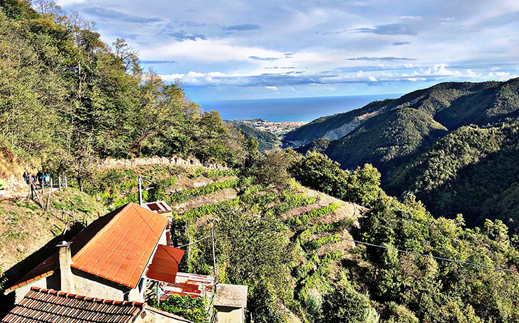
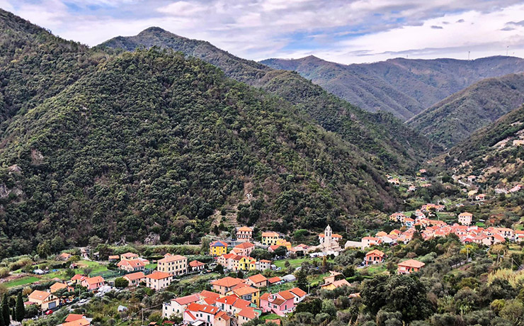
The route starts from Ellera, Piazza Cairoli, from which you take Via Stella, going uphill through the characteristic village and shortly reaching the provincial road. You follow it and after a quick stretch, ignoring the first two crossroads (the first of which will close the loop on the way back), you need to turn left onto a small road. That climbs steeply on asphalt and after a series of hairpins, leads to some houses in Streia locality.
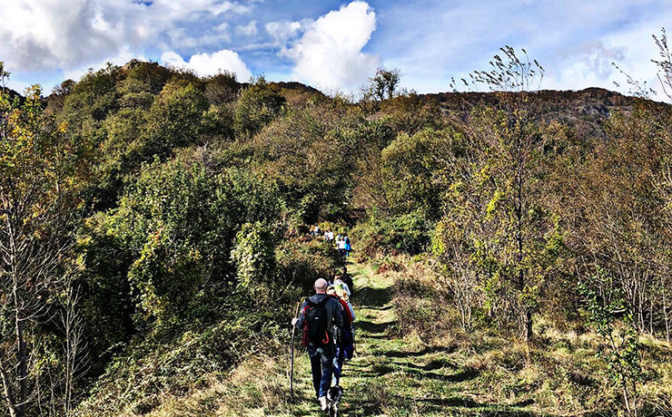
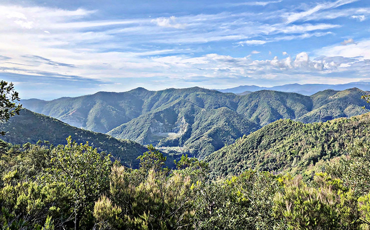
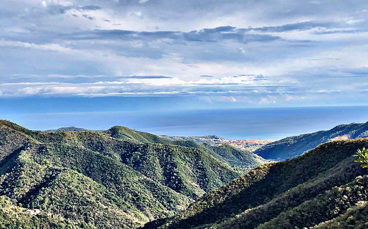
Then continue on the path to the left of the main house, initially on flat ground, pass through a gate and continue uphill to a ruin, and then to Bric Busin (418m) and Bric Cascinotto (550m). Keeping on following the main path, which leans to the right, continue on flat ground to Bric Beià (558m), a 360° viewpoint over the sea of Albisola and the looming wind turbines.
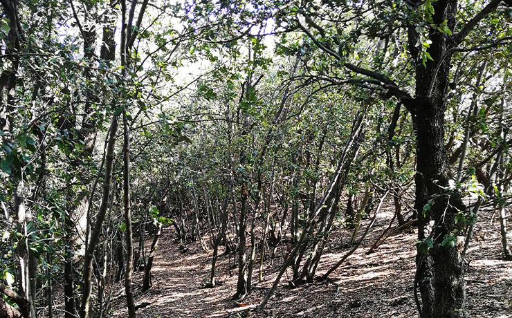
From there descend through the last stretch of forest, later passing near a farm and its crops, with panoramic views of the coastal area. From this point the trail becomes a comfortable dirt road that continues downhill with a nice scenic route. From the dirt road you subsequently reach a small asphalt road, and after a series of hairpins you soon reach some houses and then the provincial road. Continue to the right until the junction to Via Stella to return to the starting point in Piazza Cairoli.


