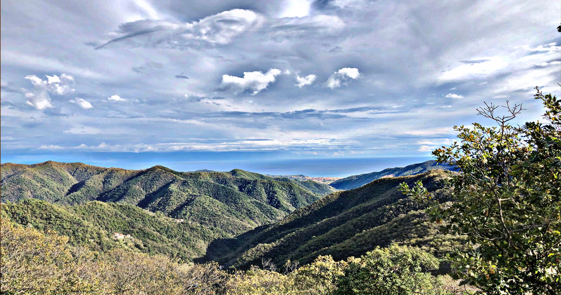
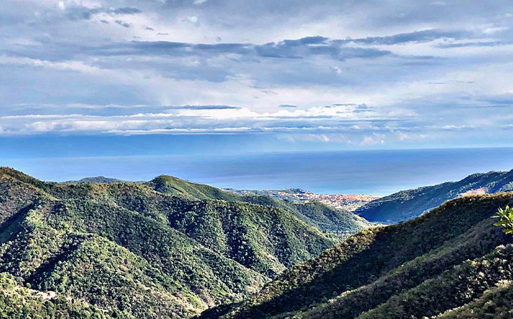
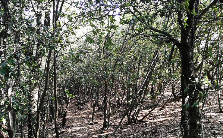
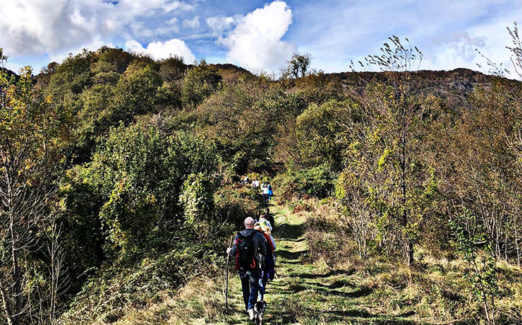
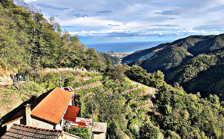
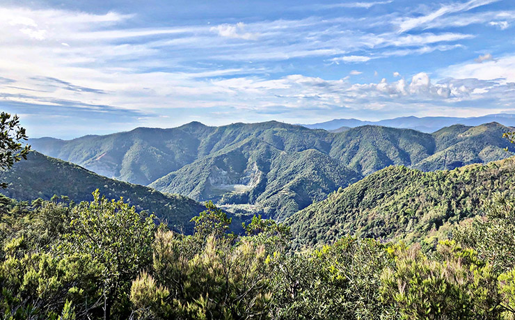
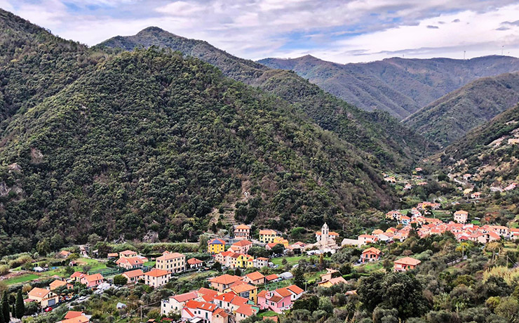
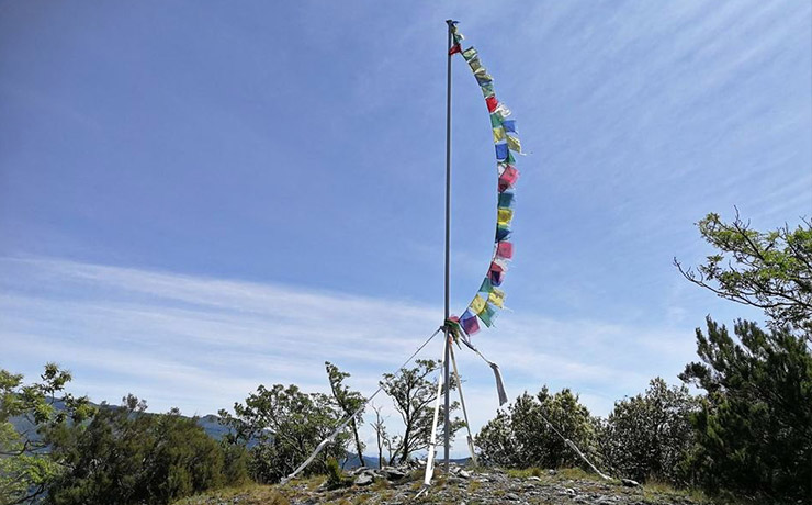
The Municipality of Albisola Superiore boasts a hiking network of approx 65km, spread over a dozen trails and connections, suitable for everyone, ideal for trekking and biking, to discover, in every time of the year, unseen hillside landscapes and an inland rich in woods, where visitors can enjoy breathtaking scenery.
The project to recover the hiking network, started in 2018, was created to rediscover already existing trails and develop new types of tourism with outdoor activities at the main priority.
The hiking trails, different in length, difficulty and elevation, start from three different spots: Albisola Superiore, Luceto and Ellera and involve the town’s center and the ridges of the valleys of the two streams that cross Albisola. A way to combine sport, wellness and the knowledge of the area’s historic, artistic and cultural heritage.
In 2019, the first two trails "Albisola Superiore-Castellaro-Pace" and "Luceto-Pian del Pero-Luceto" were inaugurated, and subsequently the project continued, allowing a significant expansion of the trail network, thanks to the work of many volunteers, which allowed the recovery of existing trails, the opening of new ones and their marking with the trail markers assigned by FIE. Then the "Luceto-Ellera" trails and the "Ellera-Bric Beia-Ellera" loop were born. In this way, a connection was developed between two important areas of Albisola, the hamlets of Ellera and of Luceto, with its small historic center characterized by the small church of Madonna del Carmine and the presence in the church of San Matteo of an evocative mechanical nativity scene that is a reproduction of Albisola Superiore late 19th century, on a scale of 1:50.
The last phase of the project saw the important work of recovery, restoration and subsequent marking of a long path that originated two different loop trails, "Ellera-Le Cerce-Bric Beia-Ellera" and "Ellera-Le Cerce-Monte San Giorgio-Crovaro-Ellera," which finally allow Albisola Superiore to be connected to the Altavia dei Monti Liguri, the hiking route in stages, about 440 km long, that crosses the entire region. In addition to the marked trails, Albisola's hiking network is enriched by a number of reclaimed and marked connecting trails, which allow for the creation of alternative trails, giving even more material to outdoor enthusiasts.
Marked hiking trails:
Albisola Superiore-Castellaro-Pace: length 2,7 Km; elevation gap 160 m; duration 1h 30
Luceto-Pian del Pero-Luceto: length 8 Km; elevation gap 280 m; duration 2h 45
Luceto-Ellera: length 7 Km; elevation gap 480 m; duration 3h
Ellera-Santa Maddalena-Ellera: length 2 Km; elevation gap 100 m; duration 45 m
Ellera-Bric Beia-Bric Brigna-Ellera: length 10 Km, elevation gap 500 m; duration 4h
Ellera-Le Cerce-Bric Beia-Ellera: length 10 Km; elevation gap 600 m; duration 4 h
Ellera-Le Cerce-Monte San Giorgio-Crovaro-Ellera: length 16,5 Km; elevation gap 850 m; duration 7 h
Via dei Siri-Cima Bregalla-Santuario della Pace: length 3,7 Km; elevation gap 200 m; duration 2 h
Marked connections:
Bric Genova (Luceto-Pian del Pero-Luceto and Luceto-Ellera trails)
Magrania (within the Luceto-Ellera trail)
