Main features:
START: ALBISOLA SUPERIORE, PIAZZA SAN NICOLÒ
MARKING: 2 RED DOTS
LENGTH: 2,7 Km
ELEVATION GAP 160mt
DURATION: approx 1,30hrs
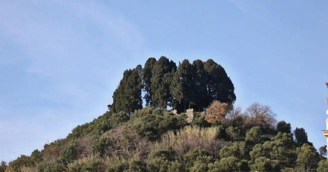
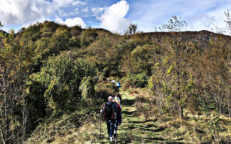
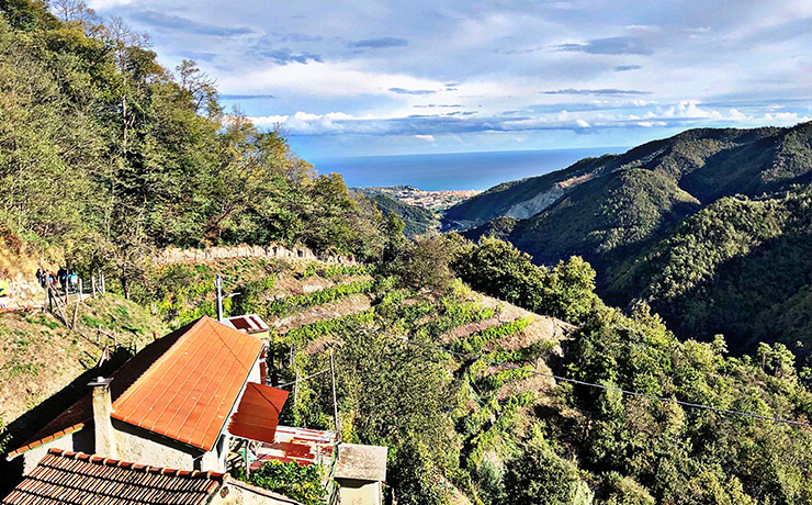
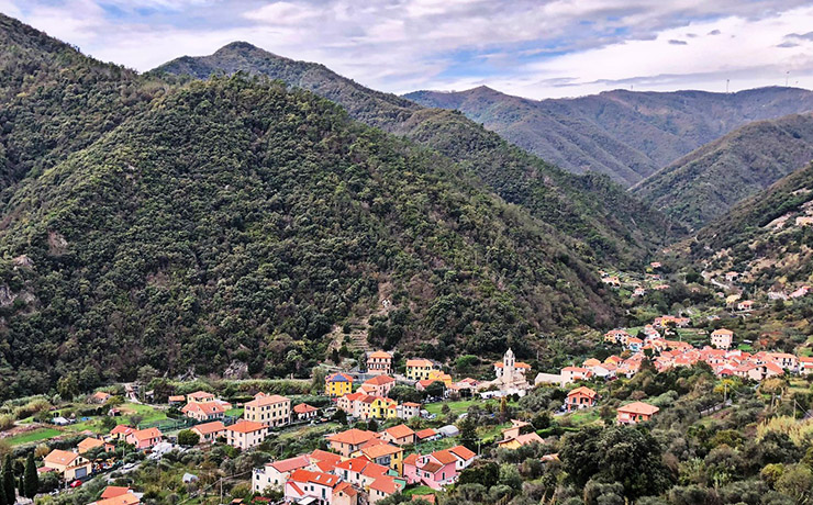
The trail starts at the parish church of San Nicolò, following the signage for the local trail network. From the church of San Nicolò, walk left along Via Emilia, then take the stairway leading to the upper part of the village and then to a path, which after a short ascent among bands of olive trees and cultivated fields, leads to a crossroad. With a short detour to the right, one reaches a knoll, where the ruins of the ancient Castellaro stand, from whose terraces the view is magnificent.
Returning to the crossroad, continue left on the path that initially flanks strips of cultivated land, then climb until reaching a beautiful forest of domestic pine (Pian du Ciulla)
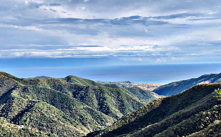
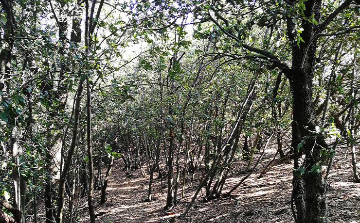
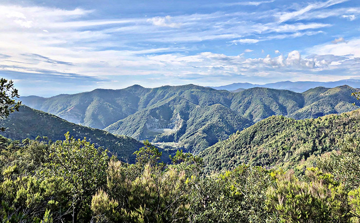
The path then continues through Mediterranean scrub, with beautiful open 360-degree views. A subsequent descent leads to the area of Pian Gaggin and with further trail in the forested area, to the clearing of Prato dello Specchio. You then take the path uphill and keeping to the right at the fork, you reach the watershed, and then a further fork, from which you soon reach the provincial road, just before the La Pace Sanctuary.
View the interactive trail map
GPS coordinates
Download GPS coordinates
