Main features:
- START: LOC. LUCETO, VIA BURAXE
- MARKING: RED SQUARE
- LENGTH: 8 KM
- ELEVATION GAP: 280 M
- DURATION: approx 2h45
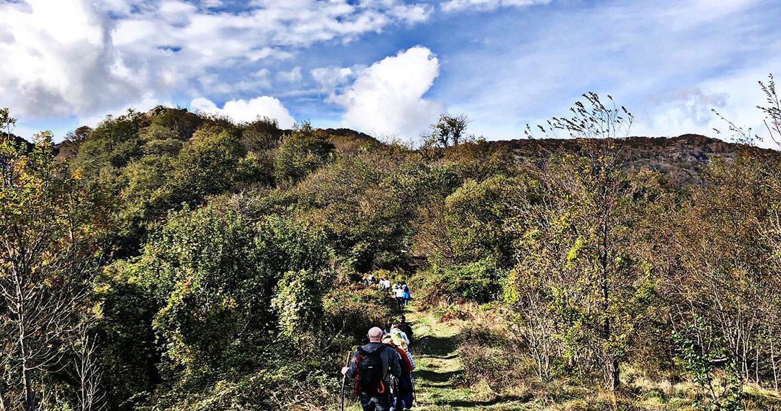
The trail starts from Luceto, via Buraxe, where you find the signage of the local trail network. Walk along the paved road, following the signpost, and after about 400 meters turn left onto a recently built bridge. After crossing the bridge, immediately turn right and continue along a dirt road that runs alongside the Rio Buraxe and then turns into a path initially running alongside a retaining wall.
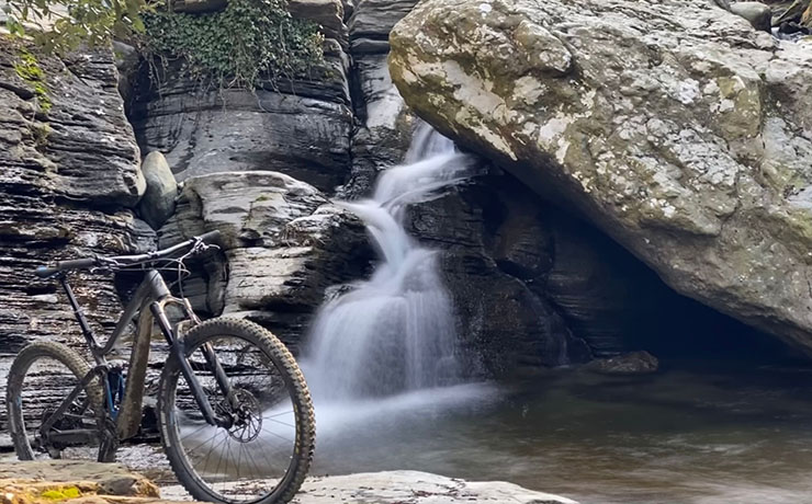
The path then proceeds on almost flat terrain, almost immediately entering a beautiful wooded area and always following the watercourse, which will have to be crossed several times. Along the way, a total of three easy fords of the Rio will be encountered. Past a ruin, the trail continues uphill, offering natural scenery consisting of small lakes, small waterfalls and water jumps, together with a very short detour to the left along the trail marked as “sorgente” [spring], which allows you to admire them up close.
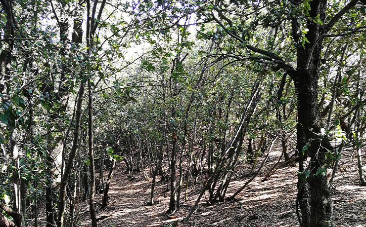
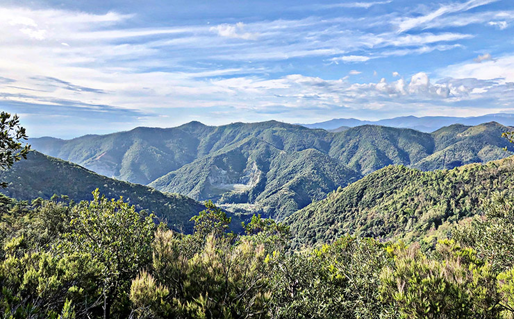
To walk the loop in its entirety and be able to return to the starting point, one must continue on the right-hand path (signposts and red square markers), which enters a thick ilex forest. After a long flat half-hill, which runs along the slopes of Bric Aiè and Rocca Negra, you reach a chestnut forest and then an area of cultivated land.
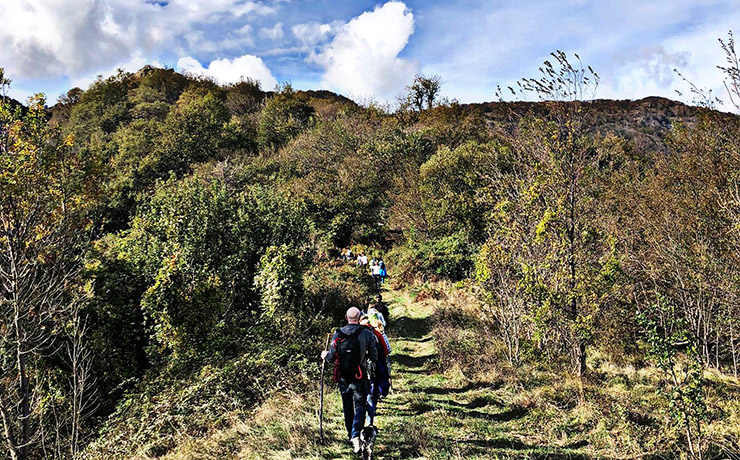
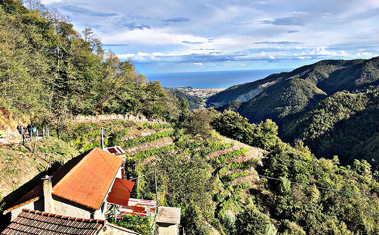
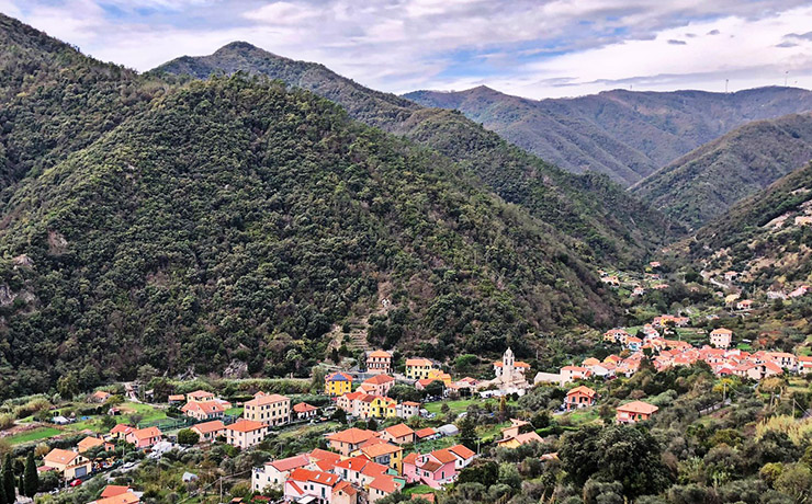
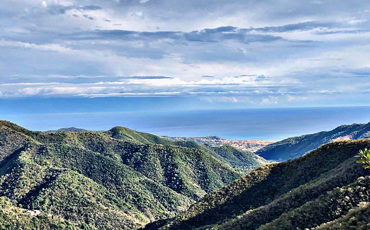
The path then descends steeply between further strips of cultivated fields and olive trees of an old farmstead (Ca' Banin), offering panoramic views of the valley and towards the coast, and then continues overlapping for a short stretch with the itinerary coming from Castellaro (signs found at the junction) and then descends to another residential area to finally return on tarmac on via Buraxe. Follow this last stretch to rejoin the uphill route and from here quickly return to the starting point.
