Main features:
- START: LUCETO, VIA BURAXE
- MARKING: TWO RED CROSSES
- LENGTH: 7 Km
- ELEVATION GAP: 480m
- DURATION: approx 3hrs
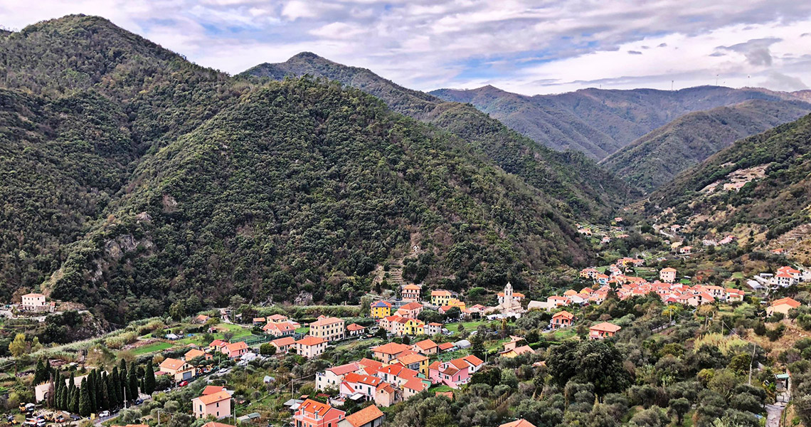
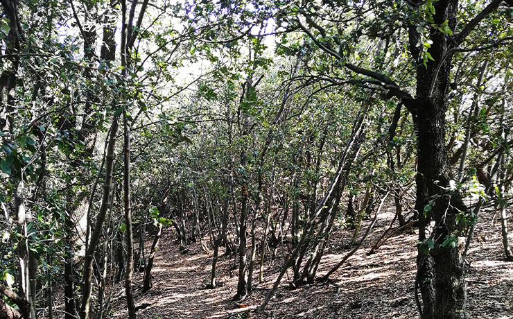
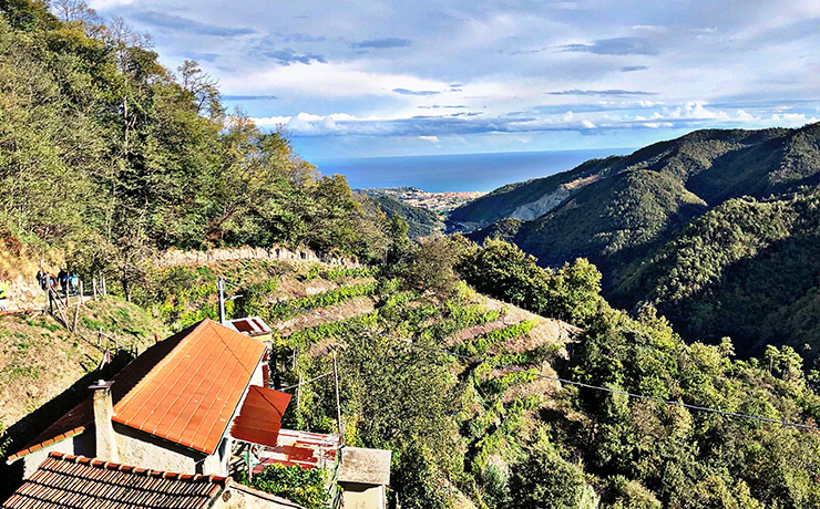
The route starts from Luceto, via Buraxe, which you must walk for about 100 meters until you cross the bridge over the stream by the same name. It then continues along the crosa [narrow road], which, in a short time, leads to via de Partigiani, from where it continues to the right, first crossing the pictoresque village and then taking the paved road that climbs along cultivated fields and olive trees. Keeping to the right at a crossroads, the road becomes unpaved and continues to a group of houses, where it is necessary to take the path to the right, which continues uphill into the woods.
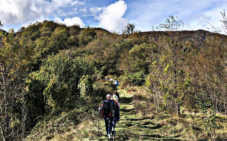
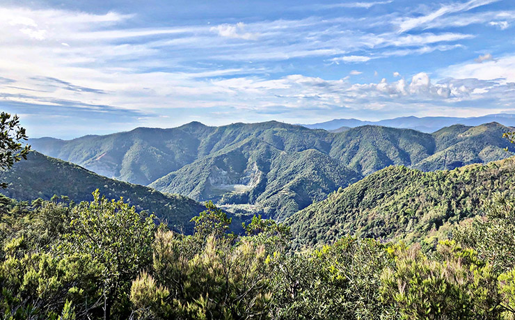
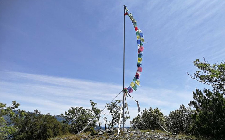
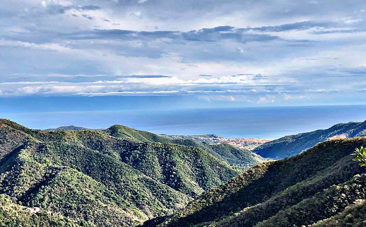
Follow the latter for a long stretch until you reach a fork (marked with special markers on the rocks) in which you need to continue left on a path that is steep at first, then gradually gentler until you reach another fork, in which you take the path to the right, which leads to a plateau. Continuing on a nice flat path, in about an hour you arrive, with a last rocky section, on the ridge of Bric Genova (483 m), the highest and most panoramic point of the route.
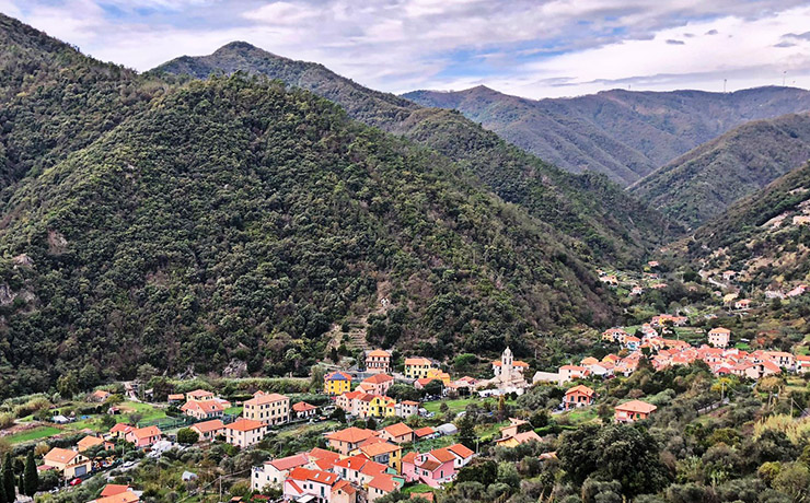
Once you reach the top, you begin the descent on an easy path that again enters chestnut woods with panoramic views of the coastal area. After about 30 minutes of descent, you meet a fork in the road at which you must take the left path to a further fork, through which, continuing to the right, you quickly reach an abandoned farmstead. In a short time the path becomes asphalt and winds up to some houses in the locality of Canavisse, then quickly descends and flows onto Via Poggi, through which, keeping to the right, one reaches the nearby center of the village of Ellera (Piazza Cairoli), the point of arrival of the hike.
Once you reach the top, you begin the descent on an easy path that again enters chestnut woods with panoramic views of the coastal area. After about 30 minutes of descent, you meet a fork in the road at which you must take the left path to a further fork, through which, continuing to the right, you quickly reach an abandoned farmstead. In a short time the path becomes asphalt and winds up to some houses in the locality of Canavisse, then quickly descends and flows onto Via Poggi, through which, keeping to the right, one reaches the nearby center of the village of Ellera (Piazza Cairoli), the point of arrival of the hike.
View the interactive trail map
GPS coordinates
Download GPS coordinates
